GIS & spatial analysis
Cartography, spatial research, public-data integration, historical GIS and decision-ready geographic products.
Geospatial intelligence · Southern California
Base Line Atlas is being built as a modern geospatial company with an old Southern California sense of place—GIS, remote sensing, field research and cartographic work grounded in the Base Line corridor and the San Antonio foothills.
A contemporary atlas with local roots
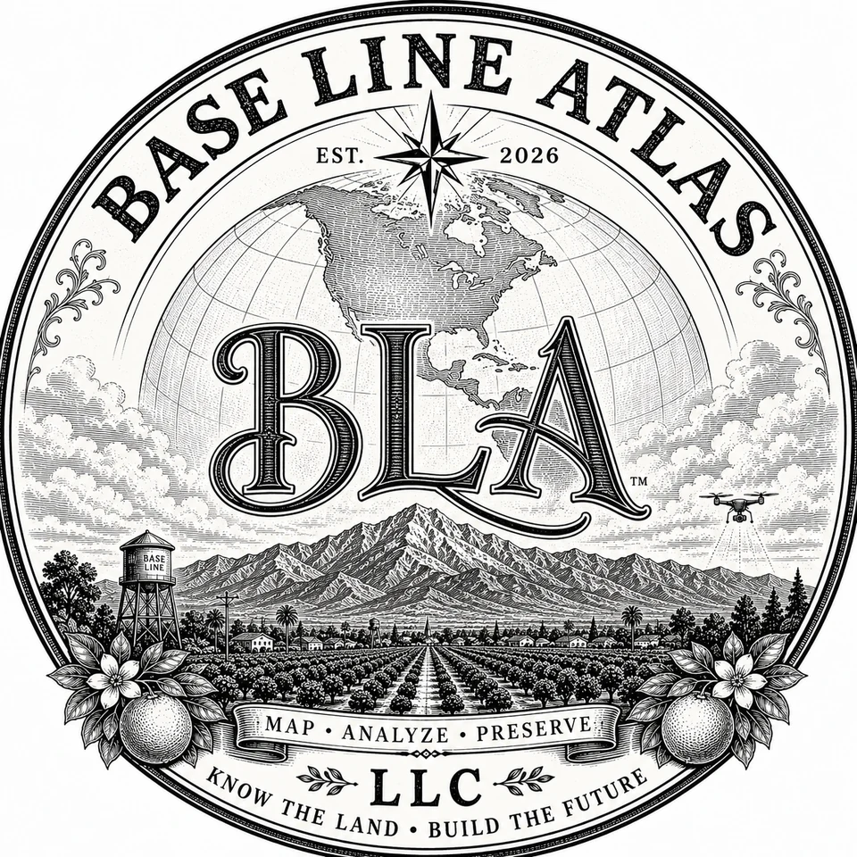
The name Base Line Atlas draws from both cartographic language and the historic Base Line landscape of the Upland–Claremont area. The visual system borrows from early Southern California citrus-box lithography, then folds in the tools of modern field intelligence.
We are designing the company to document places carefully, analyze them honestly and preserve useful geographic knowledge for the people who rely on it.
What we're building
Cartography, spatial research, public-data integration, historical GIS and decision-ready geographic products.
Aerial imagery, change detection and drone-assisted field data are part of the planned service roadmap, subject to applicable FAA and professional requirements.
Ground-truthed research, documentation and asset mapping that connect what the database says to what exists on the land.
Current project family
Base Line Atlas is being structured as the umbrella for a set of public-facing research and stewardship projects.
Correspondence
For general inquiries, project correspondence or future collaboration, start here.
Formal/legal correspondence: legal@baselineatlas.com
Administrative aliases maintained for operations include admin@, billing@ and postmaster@baselineatlas.com.